Greenland Icecap Crossing – West to East
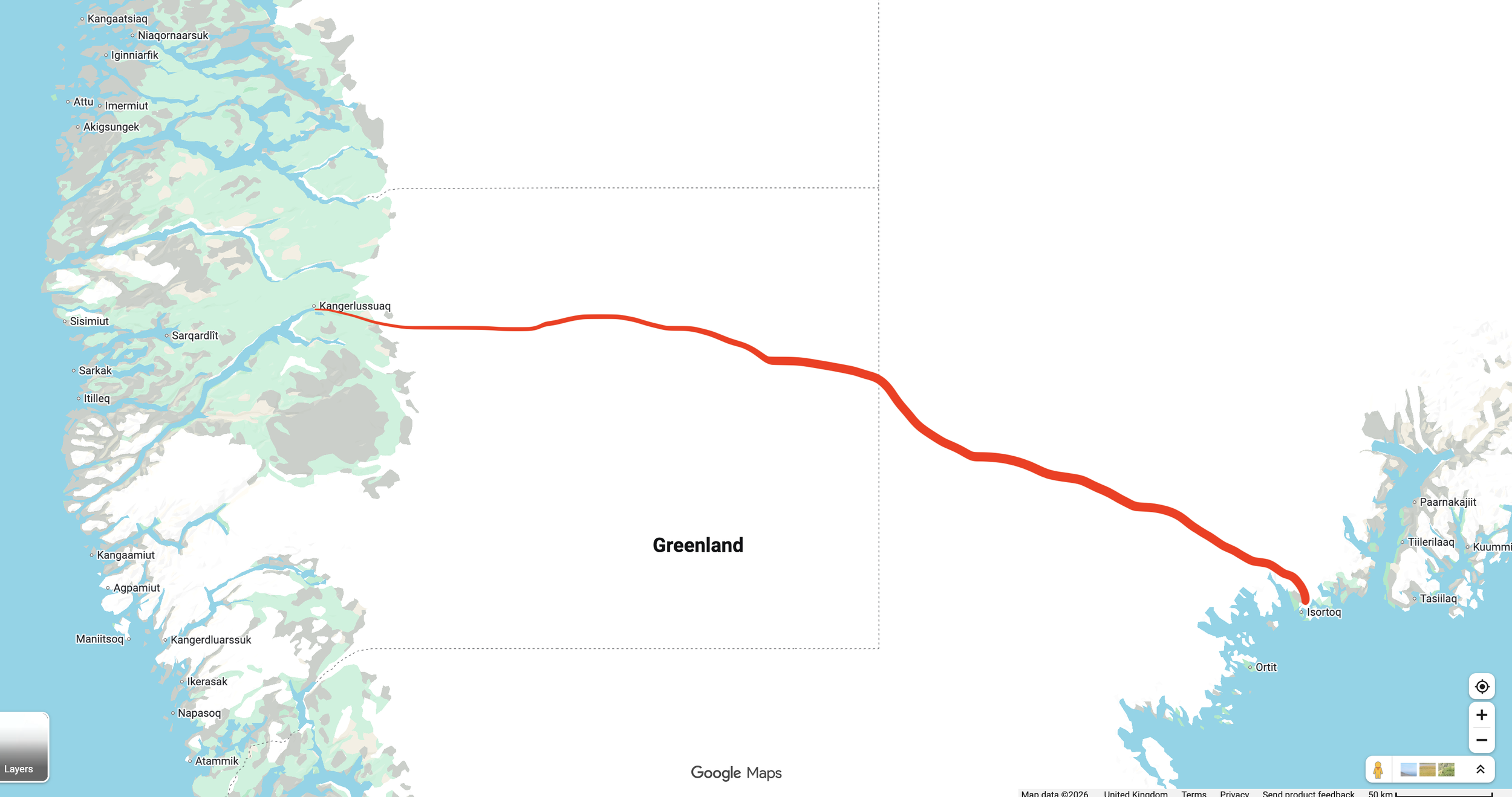
A demanding ski expedition covering approximately 600 km across the Greenland ice sheet, from Kangerlussuaq in the west towards Isortoq on the east coast. Uneven ice gives way to vast snowfields as we climb into the interior, passing the abandoned DYE II radar station before continuing towards the mountains of eastern Greenland. Several weeks on the ice make this a sustained test of endurance, preparation and teamwork.
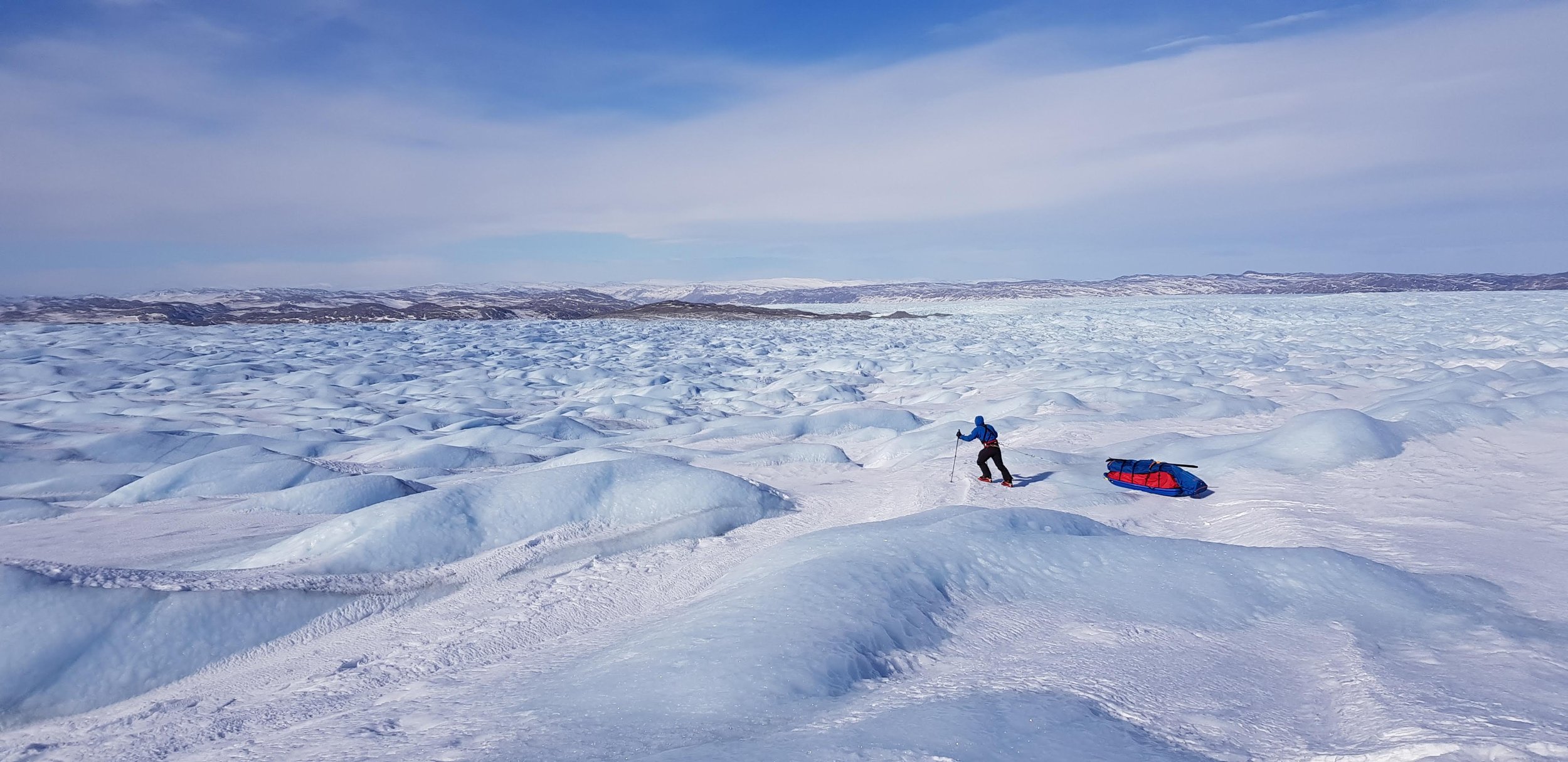
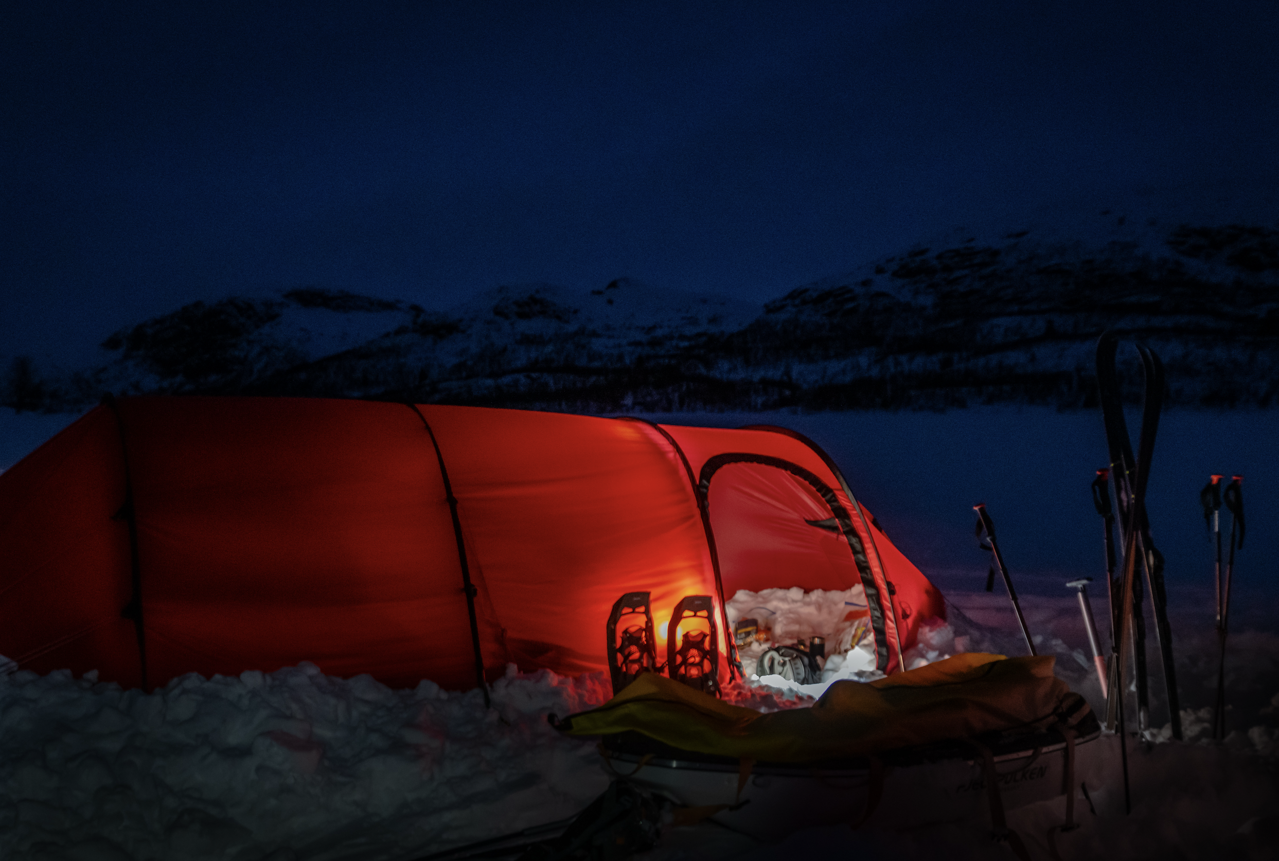
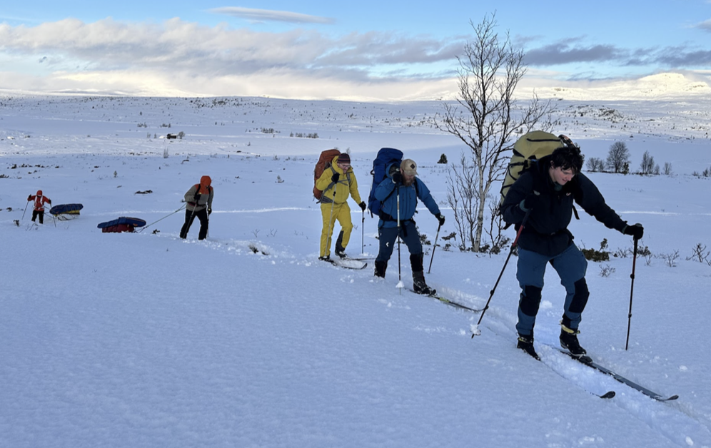
Travelling on skis and hauling your equipment, food and fuel in a pulk, you’ll camp on the ice throughout the crossing. Cold, strong winds and poor visibility can slow progress, while consecutive days of travel make efficient routines essential. You’ll share responsibility for navigation, route decisions and camp life, developing the judgement and self-management needed for extended polar travel. This Level 5 expedition builds on previous winter experience and demands a consistent contribution to the team.
COST : £15000
DAYS : 34
LEVEL : 5
Distance on Skis : 600kms
Available departures
1st May - 3rd March 2028 - Join the team
Time to delve into the detail!
-
![]()
Itinerary & Logistics
Deeper dive into your options for the crossings as well as your departure specifics, how to get there, where to fly etc etc
-
![]()
General Preparation for Arctic & Polar expeditions
Hints, tips and advise on everything to get you ready for your crossing.
-
![]()
Photo Gallery
Here’s a selection of photos to give you a real feel for the trip and a clearer idea of what to expect.
-
![]()
Insurance Advice
User guide for getting yourself covered for the expedition asap once booked on.
-
![]()
Equipment & Rental
Packing lists, Links to examples, pictures of rental items on offer and what you will be staying in tents wise.
-
![]()
Winter Tracks and Huts
Bit of background on the different types of tracks and the DNT hut system
Notes from the Director
Notes from the Director
Greenland is a major step in our expedition pathway. Around a month spent travelling across the ice sheet gives you time to settle into expedition life, take on responsibility and understand how you operate through sustained physical effort. The distance is significant, but so is the consistency required: looking after your feet, eating properly, managing your clothing and doing your share of camp jobs every day.
Our crossing runs from west to east, beginning near Kangerlussuaq and finishing near Isortoq. Access from Kangerlussuaq allows us to make our final preparations before travelling by vehicle to the edge of the ice sheet. We plan to start in May, aiming to balance spring travel conditions with the increasing effects of melt as the season progresses. Weather and snow cover will still determine how quickly we move and when we can safely complete each section.
The opening days can be some of the hardest. Our pulks are at their heaviest, and the western icefall involves uneven ground, repeated climbs and descents, and careful route finding. Depending on snow cover, we may need to travel on crampons before reaching suitable conditions for skiing. As we gain height, the broken ice gives way to rolling terrain and then the broad, open interior. The abandoned DYE II radar station provides a striking landmark before we continue towards the highest part of the route.
Across the interior, the challenge becomes maintaining a sustainable rhythm. There may be days with little change in the view, when distance is measured through navigation and hours of steady effort. Wind, soft snow and poor visibility can all slow progress. This is where preparation and teamwork matter: keeping routines efficient, speaking up about problems and having the patience to adjust the plan. You will be involved in these decisions and in the daily work that keeps the expedition functioning.
Towards the east coast, mountains begin to appear as we descend from the ice sheet. After weeks in the interior, the return of visible rock, valleys and eventually the sea marks a considerable change. The final section still demands concentration, with our route off the ice and onward transfer to Isortoq dependent on local conditions.
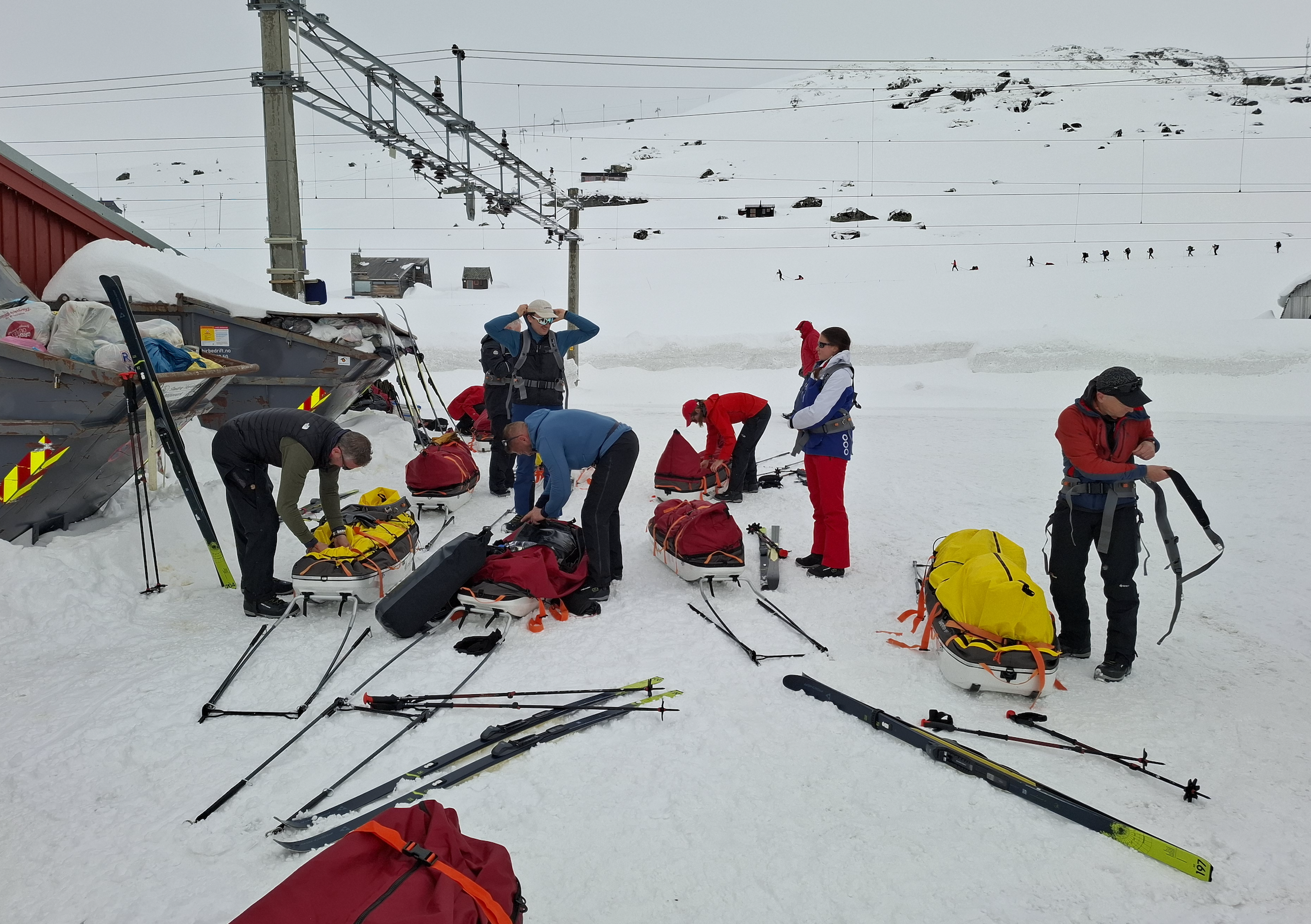
I see this as a journey for people who have built solid winter expedition skills and want to put them to work over a longer distance. You need good endurance, experience of hauling a pulk and confidence living in a tent in cold weather. Just as valuable is the willingness to keep learning, contribute when tired and support the people travelling alongside you. Those are the qualities we want to develop throughout our expedition pathway, and Greenland puts them into practice day after day.